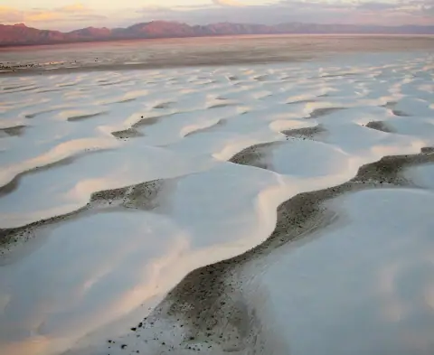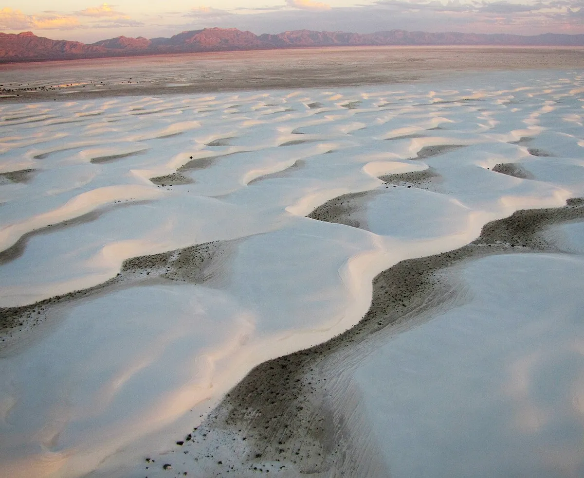
White Sands National Park 1-Day Itinerary
Dunes Drive and short marked walks. Check the same-day road closure notice. The Dunes Drive / boardwalk route does not require attempting the exposed Alkali Flat Trail.
Curated from official tourism guides · Researched 2026-11-10Sources & notes
The stops are drawn from the guides below; daily order, times and durations are our suggested adaptation. Available map pins are approximate, not provider-verified; missing coordinates remain unset. Prices are left unknown; check tickets, opening hours and transport before booking.
- NPS · White Sands National Park · visitor guide ↗
- NPS · White Sands National Park · things2do ↗
- NPS · White Sands National Park · basicinfo ↗
- NPS · White Sands National Park · contacts ↗
- NPS · White Sands National Park · driving dunes drive ↗
- NPS · White Sands National Park · leave no trace ↗
- NPS · White Sands National Park · academic fee waiver ↗
- Access / base: Alamogordo; main US 70 entrance. Gateway travel and flights are outside the park sightseeing days.
- Season: Cool season; wind, blowing sand, missile-range closures and heat can interrupt access.
- Check the same-day road closure notice. The Dunes Drive / boardwalk route does not require attempting the exposed Alkali Flat Trail.
- Check current NPS alerts, roads, reservations, permits, trail closures and transport at https://www.nps.gov/whsa/index.htm and the linked park guides before choosing dates. A park pass does not include timed entry, a tour, ferry, flight, campsite or concession ticket.
- The sequence is an editable planning suggestion, not a live timetable or turn-by-turn navigation. Visit blocks include time to explore and rest; traffic, queues, weather, accessibility and booked departures may require a shorter day. Bring an offline official map and arrange return transport.
- Available approximate map pins are adapted from https://en.wikivoyage.org/wiki/White_Sands_National_Park, revision 5240453, Wikivoyage contributors, CC BY-SA 4.0. Missing pins are left blank; confirm the real trailhead / landing with NPS or your operator.